Head office location:
Bulgaria
Elhovo
Headoffice address:
8, Targovska Str., floor 2, Elhovo, Bulgaria
Phones: +359 877777960;
+359 885841230;
+359 887762939
sales@bulgarianestates.org

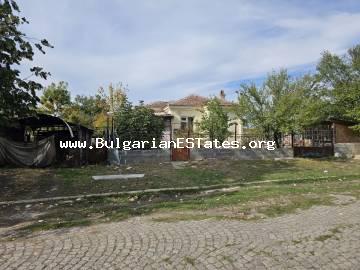
Town / Village: Rusokastro
Yard: 1240.00 sq. m.
Living area: 70.00 sq. m.
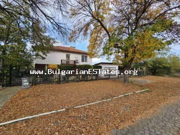
Town / Village: Rusokastro
Yard: 1000.00 sq. m.
Living area: 160.00 sq. m.
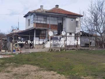
Town / Village: Rusokastro
Yard: 700.00 sq. m.
Living area: 130.00 sq. m.
The village of Rusokastro is located in the south-eastern part of Bulgaria, 25 km from Kameno, 25 km from Burgas, 40 km from the seaside resorts – Pomorie, Aheloi, Ravda, Nesebur, Sunny Beach.
The villages, near the village of Rusokastro are: Jeliazovo, Livada, Troianovo, Trastikovo.
The village of Rusokastro is situated in the Kameno Municipality, in the Burgas region.
The Kameno municipality is situated on an area of 354.7 sq. km in the fertile Bourgas Lowland. Its administrative centre - the town of Kameno - is 20 km eastwards of the district centre Bourgas.
Kameno was first mentioned in Ottoman documents from 250 years ago under the name Kayali. That name was preserved up to 1934.
There was a large farm in the settlement during the Ottoman rule, in which mostly Bulgarian stock-breeders worked. After the National Liberation the farm's lands were bought
by Bulgarian merchants and farmers. Many Bulgarians from the villages of Stara Zagora region settled here
Kameno was proclaimed a town in 1974.
The territory is situated in the plain part of Southeastern Bulgaria, along the lower stream of the Aitoska River. Its altitude is from 20 to 45 metres above sea level.
The Bourgas Lowland, where the Kameno municipality is situated, is a separate climatic region in the Black Sea Climatic Sub-Area in the system of the Continental-and Mediterranean Climatic Area. Long and soft summers and small quantities of summer precipitation are typical of the region.
The more substantial water arteries in the municipality are the Aitoska River, the Rousokastrenska River, the Chekarliiska River, etc. Their total length is 45 km. The small dams and water basins are 27 in number. The area of the rivers is 420 decares, of the dam lakes, water basins and canals - 5123 decares, of the lakes - 2715 decares, of the swamps and bogs - 679 decares, and of the fishponds - 340 decares
The protected area Кoriyata, which is an English elm forest with an area of 150 decares, is situated near the town of Kameno, along the Aitoska River
The municipality consists of 13 settlements: the municipal centre - the town of Kameno - and the villages of Krastina, Vinarsko, Vratitsa, Troyanovo, Zhelyazovo, Rousokastro, Livada, Trastikovo, Konstantinovo, Polski Izvor, Cherni Vrah and Svoboda
The Bourgas region is one of the most developed regions in the Republic of Bulgaria. It is the second largest in area (next to the Sofia region) and the fourth populated region of the country
The geo-strategical situation of the region is a factor of national importance well acknowledged by several countries in Europe, Asia and Africa. Here goes the crossing of both traditional and newbuilt axes of economical and political interests as follows: Europe-Near East-Asia; Europe-Middle East-Asia; Russia, Ukraine, Belarus and Western Europe
Bourgas region is an important "Entrance/Exit" of Bulgaria. Circa 74 % of the annual import/export of the country goes exlusively through the Port of Bourgas.
To see the exact location of the village of Rusokastro on the map, pleace click on:


